 |
|
|
|
|
| Map Gallery Slide Show | Image 35 of 75 | Norfolk Flood Map |
 |
||
| Norfolk, Virginia FEMA Flood Zone Analysis | ||
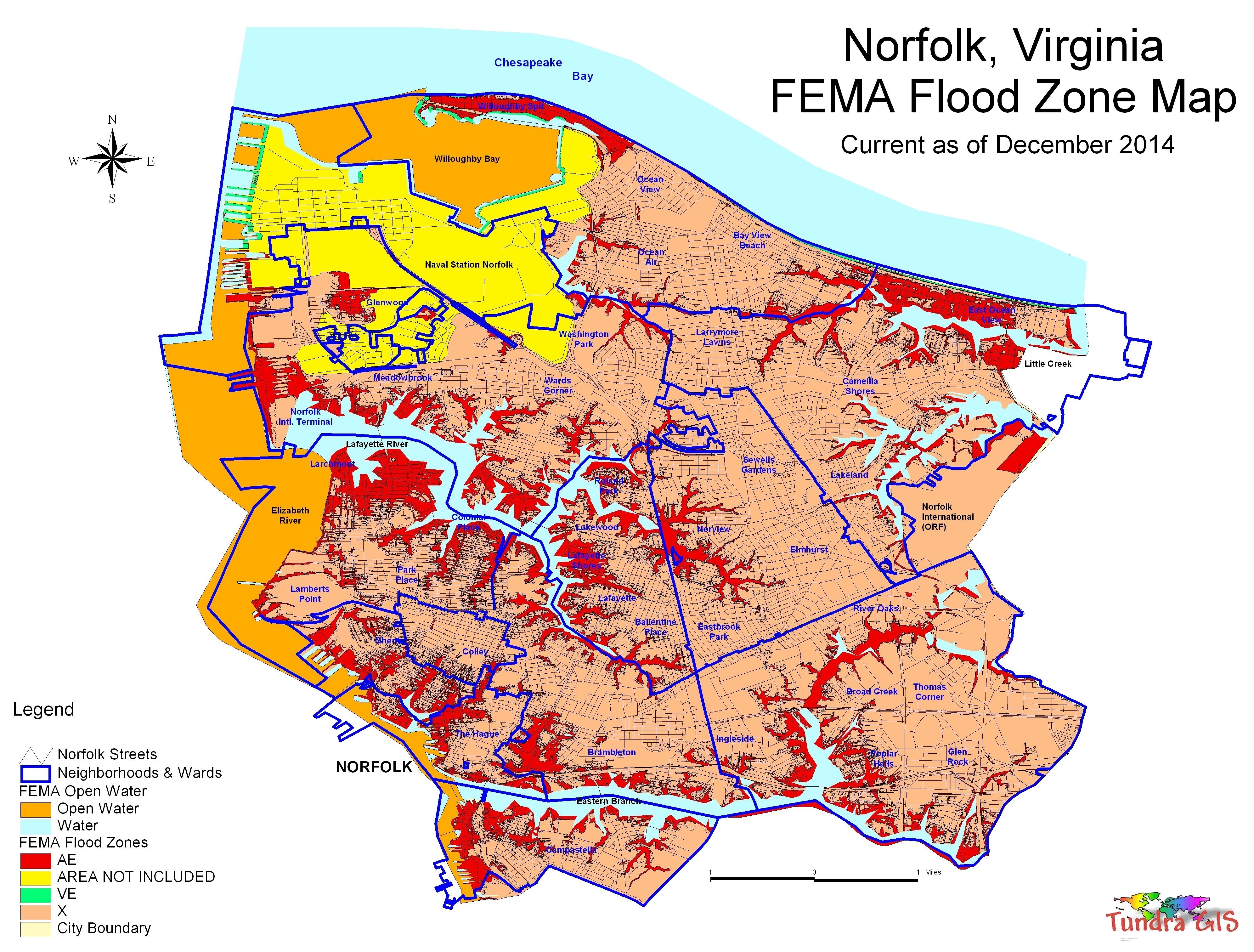
This is a map using data downloaded from the FEMA identify flood prone areas along with other flood trends and patterns. This map clearly shows that the City of Norfolk is particularly prone to flooding especially along the Lafayette and Elizabeth Rivers. The National Flood Insurance Program (NFIP) is a program created by the Congress of the United States in 1968 through the National Flood Insurance Act of 1968. The program enables property owners in participating communities to purchase insurance protection from the government against losses from flooding. This insurance is designed to provide an insurance alternative to disaster assistance to meet the escalating costs of repairing damage to buildings and their contents caused by floods. As of April 2010, the program insured about 5.5 million homes, the majority of which were in Texas and Florida. |
||
|
|
||
| < back | up ^ | next > |